Aug 24, 2007
Aug 14, 2007
How Big is Alaska? Amazing Picture of Alaska Superimposed over the US [PIC]
You may not know this, but Alaska is freeging huge. Gargantuan.That's why they have so much... uh.... seals. Or some crap. Click below.
read more | digg story
Posted by
./dave
at
7:06 PM
![]()
Aug 8, 2007
Contigo Mugs - Obviously good at dealing with problems.
I was pretty impressed by this article I read today about a customer who provided some feedback on their coffee mug to the company that produces it and got an awesome email from the engineer who designed the mug.
This is pretty great. I've bought a ton of coffee mugs that had some sort of problem and I've never thought to actually try and email the company like that - usually because I don't think there's a very good chance I would even get a response. It's great to see a company going above and beyond like this.
Posted by
./dave
at
11:39 AM
![]()
Aug 4, 2007
Aug 1, 2007
Whetstone Mountain
A couple of Sundays ago, July 22nd, Jen and I hiked - well, attempted to hike - Whetstone Mountain, which is in the Bull of the Woods Wilderness, part of Mount Hood National Forest.
We had read about this hike in our book 100 Hikes in Northwest Oregon. It's #92. It's one of what are known in Oregon as the Sullivan guides, which are called that based on the author, William L Sullivan, who is something of a legend in the Northwest from what I understand.
We drove to the hike from Portland, taking 205 through Estacada and past Bagby Hot Springs. There are some great bridges along the way. 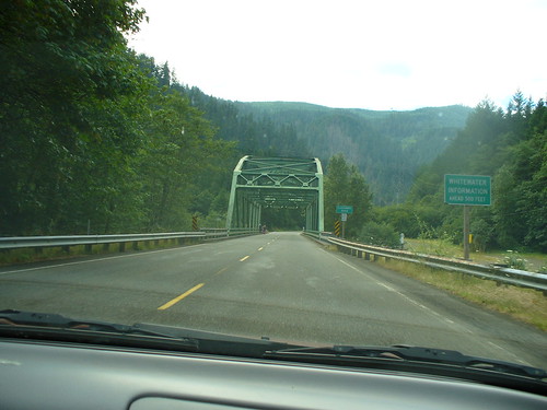
The directions are really complicated to follow, but we were able to make it on the over 20 miles of on and off paved and gravel roads to a 1980's clear cut that was the parking lot before the hike, which is Mountain Trail #546.
In our book the trail is listed as Moderate difficulty, and on Summitpost.org it's referred to as "not a technical, or particularly challenging climb". While I'm sure this is true, it was not the easiest trail to get to in the world. First off, on the driving part of the trip (hereafter referred to as "Getinthar") there were many rock slides and trees down across the road. Thankfully, all of the trees had been taken care of by the forest service, and we were able to avoid all of the rocks without getting out of the car - but it was close in places.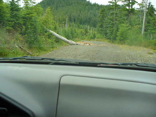
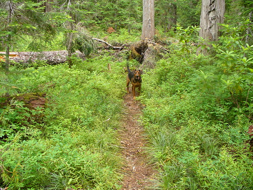
Along the climb there quite a few trees down across the trail, about 3.5 to 4 feet off the ground, which we climbed over, and tons of bugs. Bring your bug spray for this one. We probably got about 3.5 miles in (which is almost to the summit)before we ran into a part of the trail that was covered in Huckleberry bushes. I walked through, sending up a cloud of bees and flies behind me, when Jen informed me that we were now done with this particular hike. Dangit. 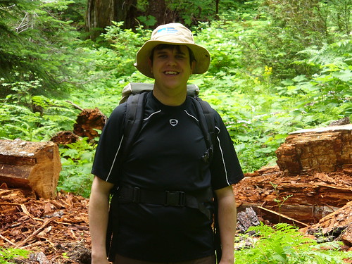
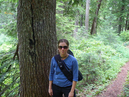
Maybell was with us the whole time and the car accident last fall doesn't seem to be slowing her down very much. She jumped over all of the trees we ran into and took the opportunity to be the only dog in the forest with about as much gusto as you could ask for.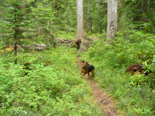
On our way down we saw a young dear, which isn't that rare in Oregon but still kind of neat when it happens.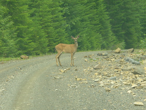
After the hike we headed down to a day-use area by Bagby springs that was along the Clackamas River. We ate lunch, nearly got a ticket from the Sheriff (but crisis averted, thanks to Jen) and spent the rest of the afternoon swimming and walking around in the Clackamas River. A word to the wise - the river is cold! This is not - I repeat - *not* - a "jump in and get it over with" experience. Take your time. Get numb.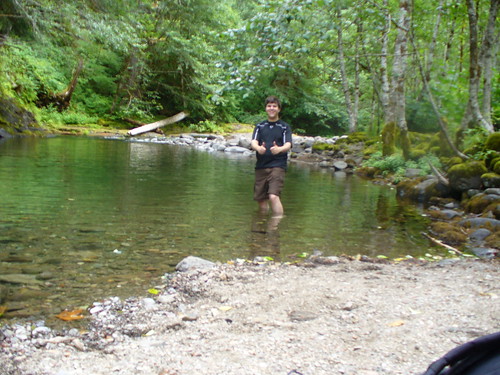
Posted by
./dave
at
8:43 PM
![]()

